

 What could be more fitting than to be handed the battered, tattered, well-used maps to a small rural cemetery on All Saints’ Day? A perfect project for these dreary November nights!
St. Titus Church, in Titusville, Pennsylvania, recently acquired the plot maps for the Mageetown Immaculate Conception Cemetery, located between Titusville and the nearby town of Centerville. One master copy of the map was needed, and I was tasked with collating all the information to one map to be used by the church, the cemetery staff, and the local funeral home. Inactive maps were stored and labelled, hopefully to be added to the church archives. A simple spreadsheet was also created, listing each occupant of the cemetery along with their birth and death dates when possible, as well as any other available information. This spreadsheet will only hold basic data for the moment, but will hopefully be useful as a first step to fully studying the cemetery and placing it in its historical context.
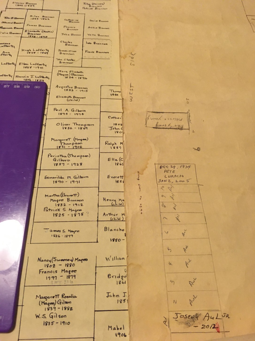
There was no shortage of additions, corrections, and clarifications to make to the live map. And I may have given myself permanent eye strain trying to decipher some of the notations. However, it was incredibly poignant to read the names of the families who have rested in Mageetown and continued to bury their dead there for over 150 years–a somber but beautiful comment on our region’s close-knit rural communities.
![]()
